



As of July 3, 2024, Hollister Hills SVRA is under fire restrictions due to high fire danger. All wood-burning fires are prohibited in the park. Lanterns, portable stoves, and fire pits using propane and/or liquid or solid petroleum fuel are allowed.
Restrictions are in effect until October 31, 2024. Conditions will be evaluated and this period may be lengthened or shortened if conditions warrant.
Current Trail/Weather Conditions
Hollister Hills Weather Monitoring Station
To opt-in to receive text messages on your mobile phone regarding park updates, text “hollisterhills” to 74121
CLOSED
The following areas are closed until further notice.
- Fenceline Trail (Renz Property) (Motorcycle & ATV) (See Map)
OPEN
- Upper Ranch (4×4 vehicles, ROVs)
- Granitic areas, Adobe areas, and most trails in Renz Ranch (see below) of Lower Ranch (Motorcycle & ATV) (See Map)
- All Renz trails are open, except Fenceline
- Hudner Ranch (4×4 vehicles, ROVs)
- Mudstone Ranch (Hiking, Biking, & Equestrian)
Closure note: For public safety and natural resources, everything on Adobe clay soil closes when wet due to its unique slick and sticky properties.
CAUTION: Always be aware of changing hazards on trails. Ride at your own risk!






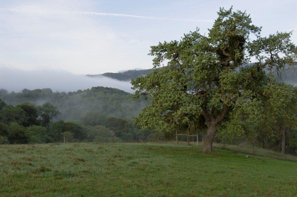

The park straddles the San Andreas Fault. The North American tectonic plate (North East side) consists of clay-rich adobe soil with rolling hills covered in grassland and oak woodlands. The Pacific tectonic plate (South West) consists of granitic soil with steeper terrain with pine, sage, and chaparral taking root in the sandy soil. The Pacific and North American tectonic plates have been sliding past each other for 30 million years at a current rate of about 1.5 inches per year.
To read more about the geology, plants and animals of the park visit our natural history site.
To read more about the park’s story, visit our cultural history site.
link